Remuera heritage walks with downloadable maps
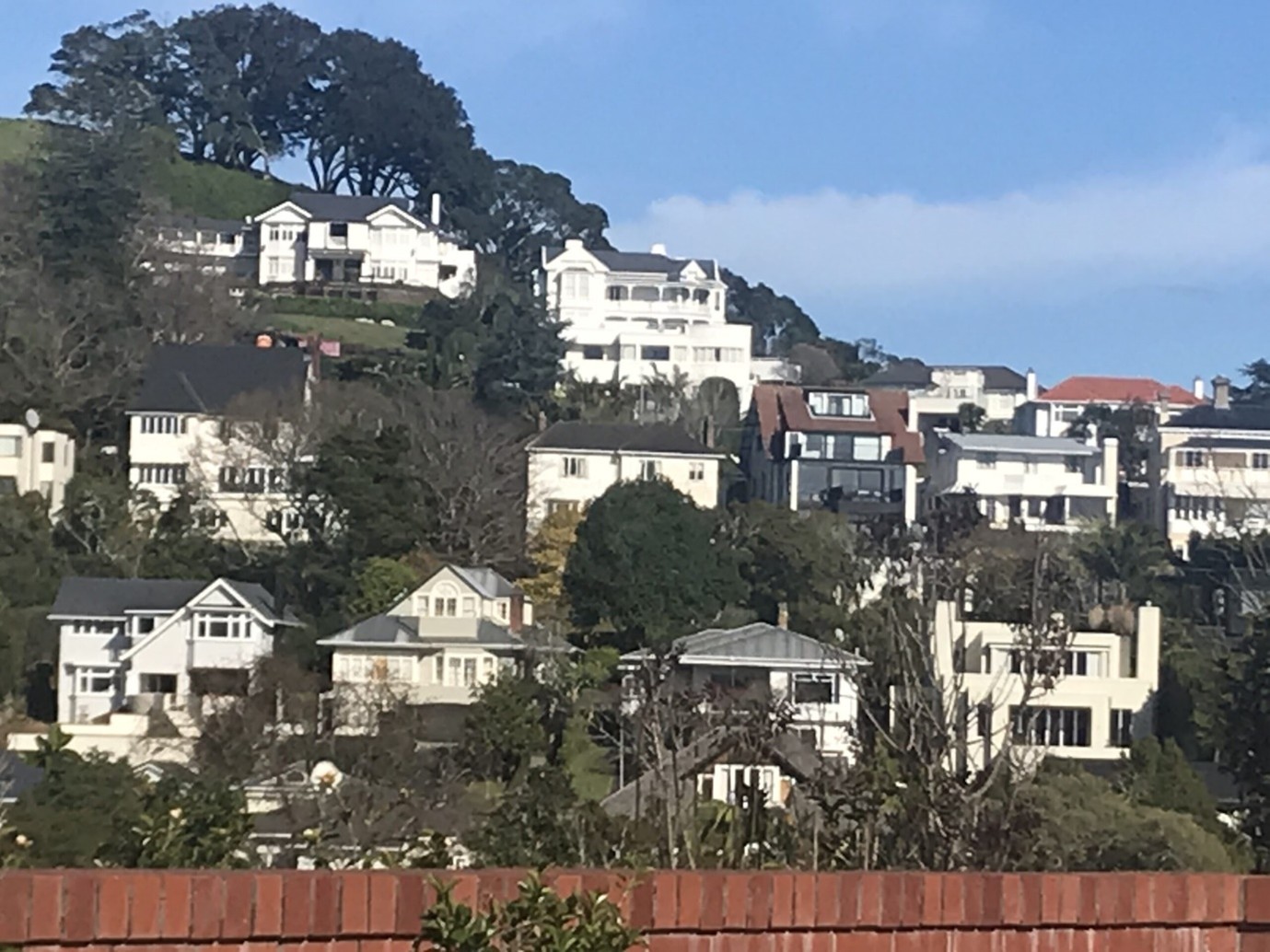
Houses on Ohinerau Mt Hobson

Remuera Heritage Walk 3

Remuera Heritage Walk 2 Final Map

Remuera Heritage Walk 1 Final Map
Remuera Heritage has created three walks to highlight to children and their whanau the history of Remuera’s heritage neighbourhood. The walks showcase many beautiful heritage homes, gardens, trees, shops, churches and maunga of this historic suburb. Parents, teachers and children can use them to become more familiar with their surroundings.
We aim to celebrate Remuera while acknowledging our lost heritage, examples of which are included in the walks, pinpointing the homes and structures lost due to fire, development, demolition, neglect and removal.
Each map is double-sided with a map and brief descriptions on the front and photographs, website links and QR Codes to scan to the website on the reverse. The maps can be printed off to share information.
The QR codes make it easy to access the information on your mobile phone when out walking, and fun for the children on the walk who love using technology. Hold your phone over the QR Code and press the camera app.
Colour coding helps identify the feature – be it a garden, house or shop.
Three heritage walks through Remuera
Walk 1 – Starts at the top of Ohinerau/Mt Hobson and finishes at the Remuera Railway Station via Remuera Road and Remuera Primary School
Walk 2 – Starts at Market Road and heads towards Remuera Shops finishing at St Paul’s Church on St Vincent Avenue
Walk 3 – Starts at Guisnes Court, 532 Remuera Road, through the Upland Road Village and finishes at Orakei Basin